Burin Peninsula and Grand Banks
Grand Banks fishing area has a lot to do with Newfoundland history. It has shaped the island for hundreds of years all the way from the first French fishermen to later British settlers.
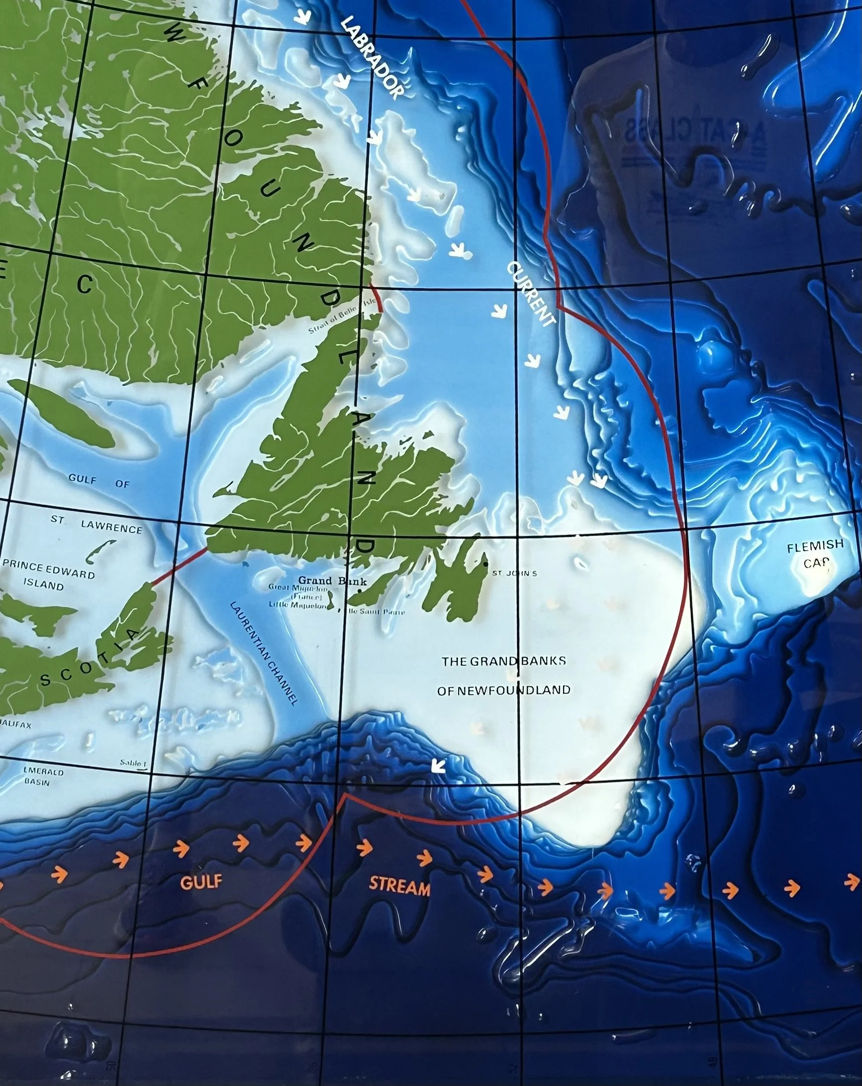
Ocean life’s perfect spot where the Labrador Current and Gulf Stream meet at Grand Banks.
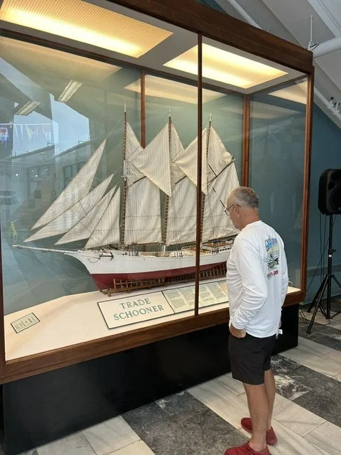
Newfoundlanders had a lot of cod fish, snow crab and seals to trade with and it brought wealth in to build bigger ships to bring in bigger hauls. At 1850, the hay days of big schooners alone Conception Bay sealing fleet had a fleet of 184 ships with 7000 men. The Bank Fishery had more than 300 schooners for offshore fishing for cod. Big numbers for this island.
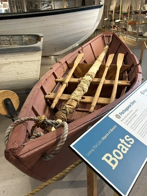
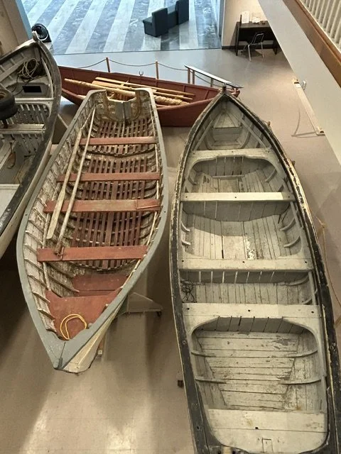
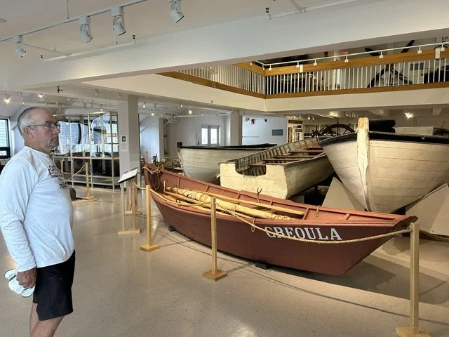
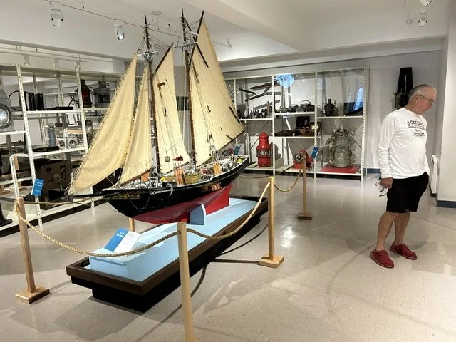
We visited the Maritime Museum in Grand Banks. So much to see and even found out few things that we still own and have used ourselves.
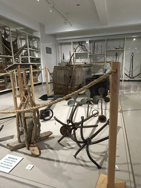
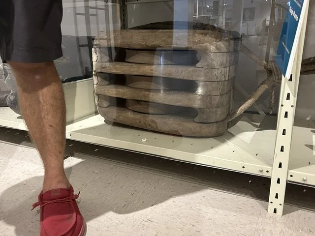
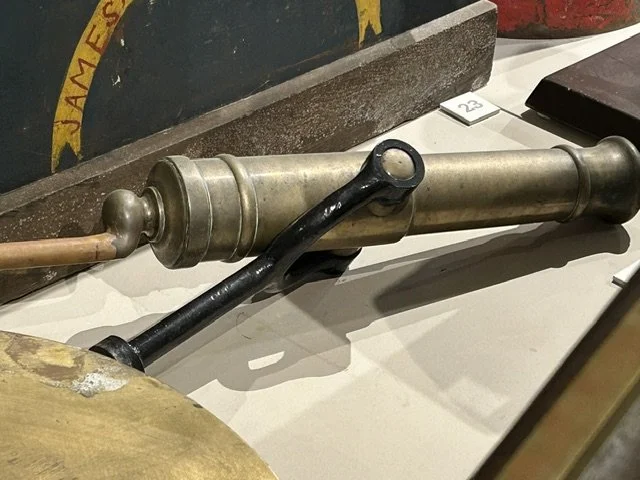
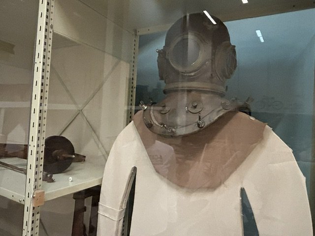
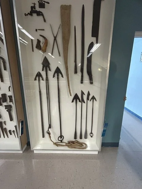
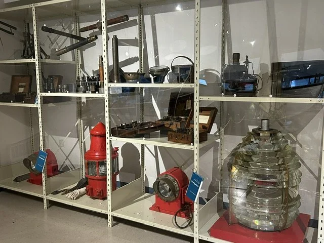
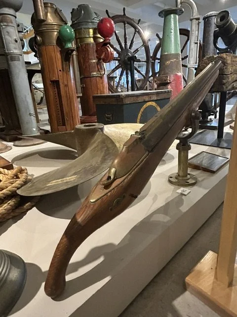
The harpoon gun and diving helmet where not one of the items that we have used or own… but anyways…
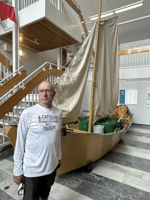
Captain and sailing fishing boat.. below pics from Grand Banks village
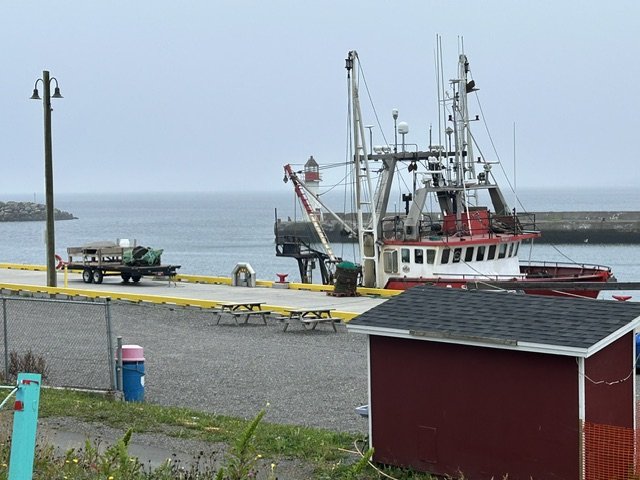
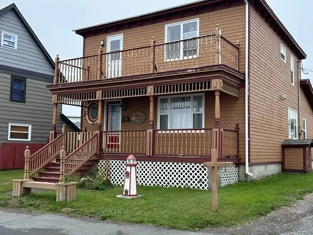
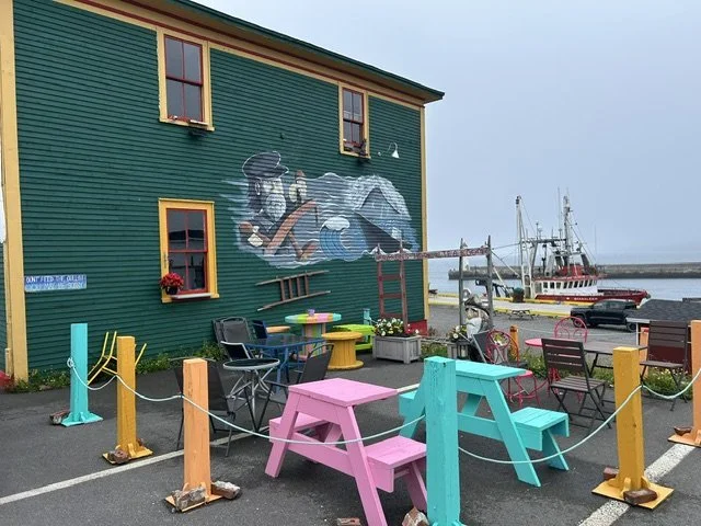
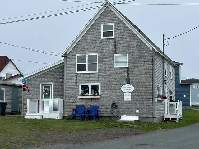
On Burin peninsula you can take a ferry to France as well. It is a 90 minute ferry ride across to Saint-Pierre and Miquelon Islands. France got the islands from Britain permanently 1816 and are still French territory. We did not go over as we have been in “France” plenty time and Rhona would have needed a kennel to get on to the ferry for the trip. The islands are very small and nothing much new from what we have seen. Tourist go over for “ticking the box” and some French cuisine.
The islands were huge hotspot during the US and Canada prohibition years 1920-1933. Being French territory it was legal to bring alcohol in and store it. Then it was just question to smuggle it short way to US and Canada. Even Al Capone visited the islands and used it as a transit base for his operations. The smuggling made the islands very wealthy as they taxed every bottle for small sum of money. When the prohibition era ended over night in 1933 the island slumped back into economic depression and transited back into struggling fishing industry.
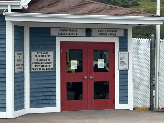
Customs and Immigration office for the France-Canada border.
Moving towards east of the peninsula… Burin village itself. I found a hike to do with Rhona.. and it was called Cook’s lookout Trail.. I did not know Captain James Cook was here as well.. yes we have all read about his South Pacific adventures but.. Newfoundland!?!
Cook spend 4 years in Newfoundland 1763-1767, before he was commanded to go to South Pacific. He led precise hydrographic surveys here and produced maps/charts that remained standard for century. For his brilliant work here in Newfoundland earned him a command of HMS Endeavor and trip to South Pacific.
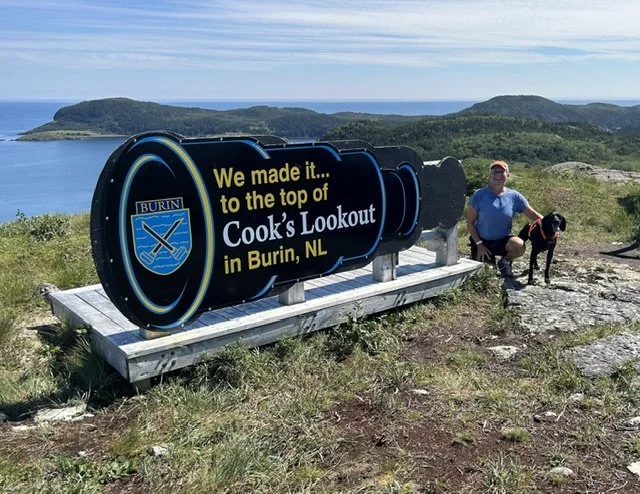
Captain Cook used this elevated spot as vantage point for his surveys.
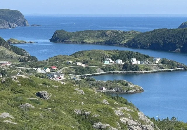
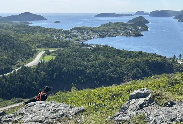
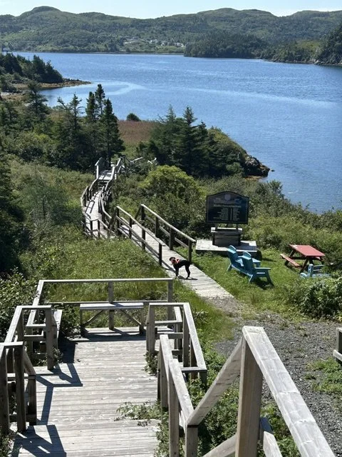
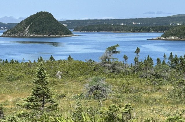
There has been tragedy in big portion on the Peninsula as well when Tsunami wave hit the narrow bays of Burin with 13 to 27 meters high wave. It swept away entire homes, fishing stages and they lost over 280 000 lb/13 000kg of salted cod. That alone crippled the local cod fishery for years. Not that they lost 28 people. The incident remains Canada’s most destructive earthquake - related disaster to date.
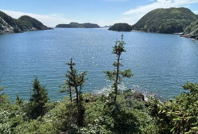
Bay of Burin where the most damage was done by The tsunami
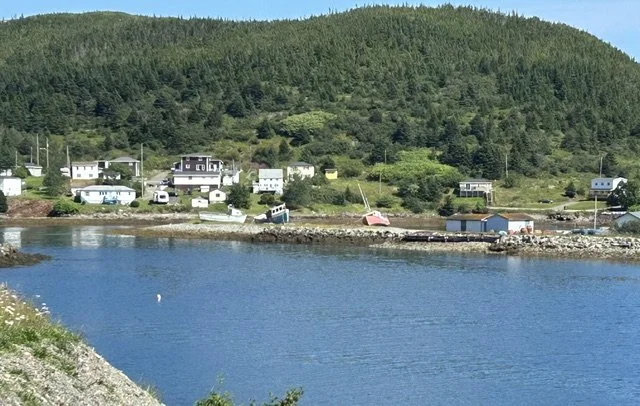
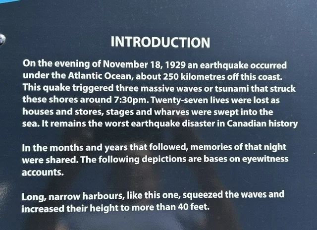
People at that age had no idea what was happening when the water withdraw before it all came in double volume.